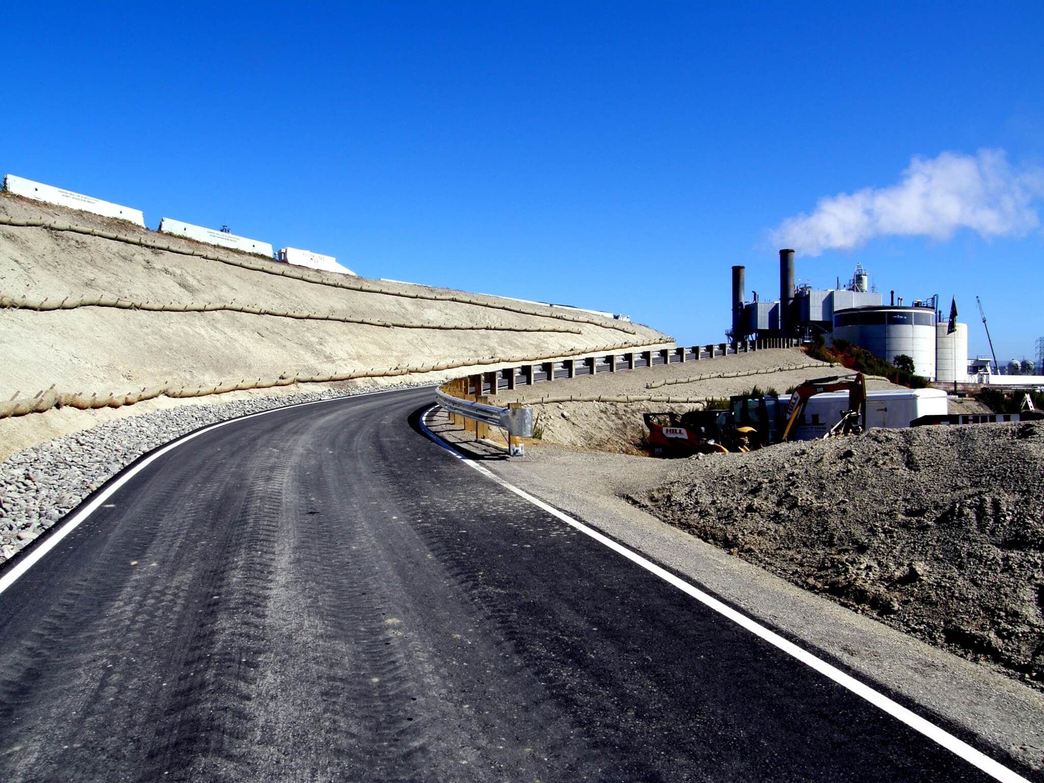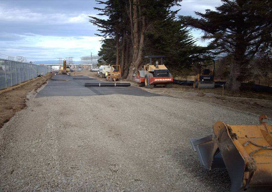
LACO’s project team provided geotechnical, permitting, engineering, survey, construction monitoring, materials testing and general consulting services for internal and external access and parking space and for added storage/laydown area, all in support of decommissioning activities. Access Road No.1 provides an added point of ingress/egress to and from the plant. The new road intersects County-maintained King Salmon Avenue, thus requiring Public Works approval and an encroachment permit. Native soil conditions required use of geotextile to produce a structural section capable of handling HS-20 truck loads. BMP’s were designed to effectively protect sensitive habitat surrounding the roadway. Access Road No. 2 connects Road No. 1 to the upper plant site area where the majority of decommissioning will occur. This single lane roadway has a cut/fill section designed to reduce excess material requiring off-site disposal. Overall earthwork resulted in excess cut that was incorporated into the LFO parking area as a means of reducing disposal costs.
The Northeast Laydown Area was created out of a small area surrounded by steep slopes and covered with wet stockpiled soils. LACO performed onsite soils analysis and developed a strategy to use the stockpiled soil to expand the area available for laydown. LACO assisted PG&E in evaluating an alternative access route from the north, called the North Access Road, which may be needed to accommodate peak truck traffic and circulation in the plant. The route begins on City of Eureka property. LACO contacts and working relationships with City staff streamlined the coordination needed with the City.
Major components of the Decommissioning Access, Parking and Laydown Area activities LACO performed are summarized as follows:
- Access Roads No.1 and No.2
- Base mapping and site topographic surveys
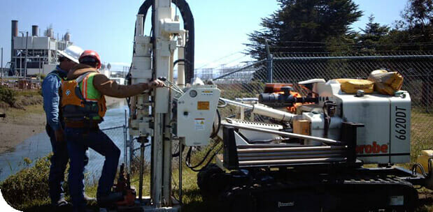
- Geotechnical analysis and structural section recommendations
- Native soils characterization and determination of suitability as onsite fill
- Roadway alignment, drainage, grading and structural design presented as construction documents
- Erosion and sediment control design to protect water quality
- County Grading Permit and floodplain analysis
- Construction staking, field inspection and materials testing
- Documentation of installed improvements
- LFO and Overflow Parking Areas
- LFO Tank No.2 berm soils characterization
- Parking layout, drainage, grading and structural design presented as construction documents
- Erosion and sediment control design
- County Grading Permit and floodplain analysis
- Construction staking, field inspection and materials testing
- Record drawings documenting as-installed earthwork conditions
- Northeast Laydown Area
- Existing soil characterization and incorporation into grading plan as fill
- Grading plan design to maximize use of available area
- Base survey mapping, construction staking, and wetland boundary marking
- County Grading Permit
- Field inspection and materials testing
- North Access Road predesign and permitting
- Site survey and base mapping