GHD Inc. (GHD) retained LACO to provide geotechnical and survey services for the Boat Launch Reconstruction project in Fields Landing, Humboldt County, California. Humboldt County Department of Public Works retained GHD to design the improvements, which included a new concrete boat ramp.
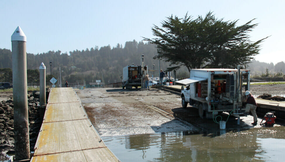
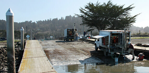
The purpose of the geotechnical exploration was to explore and evaluate the subsurface conditions at the site, identify geotechnical conditions that may affect development of the site, and to provide geotechnical guidelines and design criteria for planning and design of the proposed improvements. Our Geologists and Geotechnical Engineers performed a subsoil exploration to characterize shallow and deep soils by using a combination of cone penetration tests (CPT) and continuous core boring explorations. They timed the exploration to coincide with low tide to extend their exploration as far into the bay margin as possible.
Our geotechnical team found that it was possible for GHD to develop the project site with a new concrete boat launch, concrete ramp apron, and pier-controlled boarding floats if they adhered to key geotechnical considerations during the design and construction phases of the project. We recommended pile foundations, seismic design factors, and earthwork recommendations to address the high potential for liquefaction, dynamic settlement of the soils underlying the project area, and the potential of slope instability associated with the changes in soil stress created though dredging of the launch channel.
We also provided field survey services, including topographic and bathymetric surveying and mapping. Our surveyors provided spot elevations of the Bay floor within 0.1-foot precision. The bathymetric survey extended approximately 50 feet on either side of the existing docks and to the shipping channel westerly of the dock. We provided an updated survey base map and an “existing conditions” map illustrating the existing site conditions, improvements, topography, bathymetry, property lines, easements, structures, setbacks, and encumbrances.